
Coconut Creek Neighbors by Source
No official roster names all people on a Coconut Creek block. The useful sources instead define parcels, owners, mapped features, public voter fields, planning history, and association contacts. Choose the source by the question.
| Source | What It Shows About a Block | Access |
|---|---|---|
| BCPA parcel map | Touching parcels, record owners, situs and assessment facts | Free public viewer |
| Coconut Creek GIS | Mapped features or layers selected within a set radius | Free; no public login required |
| Voter file | Lawful public registration fields | Request; protected data excluded |
| City planning scans | Subdivision, development, plat and site-plan context | Public repository or request |
| Community groups | Managers, boards, services and public documents | Public contacts; member areas may be gated |
BCPA is the best ownership layer. City GIS is the best official proximity tool. Neither proves who sleeps at a home, and neither supplies a private household roster.
Buffer Coconut Creek Neighbor Blocks
The Coconut Creek Public GIS can define a block from one address. Use Find Address, run the search, and zoom to the result. Select/Identify can pick a single feature or drag across several. Buffer accepts a target theme, distance, and unit, so the result is based on mapped proximity rather than assumed street-number order.
- Enter the full address in Find Address and choose Run Search.
- Set the selectable theme, then click a feature or drag a window around nearby features.
- Use Buffer from Selection with a target theme and measured radius.
- Read the selected attributes, then verify parcels in BCPA.
The map can also measure distance, area, and acreage. Its current public setup says map printing is not configured, although selected attributes can be printed or attached to email. Treat all output as GIS context, not a boundary survey.
Note: A radius follows map distance, while a block may also be shaped by canals, gates, roads, and parcel lines.
Map Coconut Creek Parcels Nearby
The BCPA Web Map turns the city GIS result into parcel facts. Search By Address, select the match, and zoom. Click adjacent polygons or choose Collect Parcels. The result grid compares parcel number, owner name, situs, millage, use code, land and building values, total value, square feet, price per square foot, and effective age.
The process is simple: address → mapped parcel → touching parcels → recorded owners → situs and mailing comparison. Unselect Parcel removes a false match. Preserve the folio because it is a more stable key than a casual neighborhood label. Coconut Creek condominium folios can include letters, so do not reject one merely because it is not all digits.
A matching owner mailing address and situs, with homestead, can suggest owner occupancy. It cannot prove it. A remote mailing address may indicate a nonresident owner, yet says nothing certain about who occupies the property. For a whole named road and its deed chain, use the Coconut Creek street directory.
Coconut Creek Planning File Clues
The city's scanned planning repository supplies the community layer that parcel rows may lack. Folders name Wynmoor, Township, Centura Parc, Regency Lakes, Winston Park, Banyan Trails, Victoria Isles, Coconut Creek Ranches, and other developments. Some contain plats, site plans, amendments, and project drawings.
These files can bridge an informal place name to official parcel geography. Regency Lakes engineering material, for example, includes a master site plan, homeowner-maintained map, key map, plats, and amendments. A plan may explain a gate, lake, common tract, or sub-association. It does not list Coconut Creek neighbors.
Coconut Creek's postwar planned-community history also makes aerials, permits, and plats more useful than a traditional fire-insurance map. No Coconut Creek-specific Sanborn sheet was verified in the research.
Coconut Creek Community Contacts
Association sources identify the manager or public board that serves a place. They are not resident directories. Use them to confirm a community name, find public documents, or ask about a voluntary channel.
Township Community
Management directory
Search by association, management company, or phone. It covers Applewood, Bayport, Bayview, Baywood, Centerpointe, Elliot Cocoplum, Gingertree, Karanda, and more.
Wynmoor
Residential services
1310 Avenue of Stars, Coconut Creek, FL 33066
954-978-2600
Regency Lakes
Community information
Public manager contact and eight named sub-HOAs; more member material requires a login.
The city also identifies Wynmoor Community Council and Andros Village Neighborhood Association. No citywide official neighborhood membership directory was found. Congregation, block-watch, and HOA member lists remain private or voluntary unless the group chooses to publish them.
The Township directory is a strong example of what public association access really looks like.
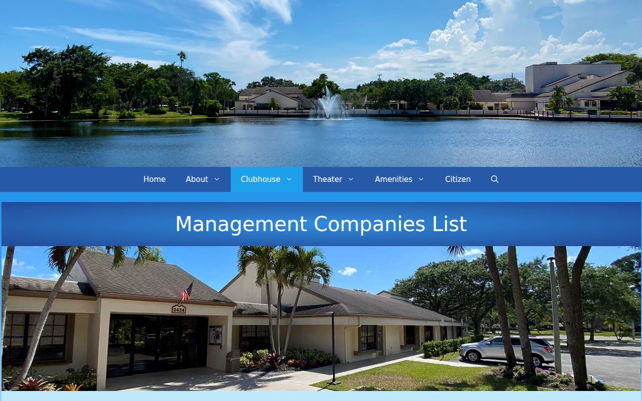
Its searchable rows connect associations with management companies and phones, not with household names.
Coconut Creek Neighbor Voter Data
Broward voter information has a public side, but the official individual lookup is not a block browser. Public fields may include a registered voter's name, date of birth, address, party affiliation, and elections in which the person took part. A ballot choice is never public.
A lawful file request goes through the Broward Supervisor of Elections. The current list sets a $20 database search, with optional media charges. Section 97.0585 closes Social Security and driver or state ID numbers, signatures, the source of registration, and preregistered minors' data. Address Confidentiality Program participants have their names, addresses, and phones kept from public disclosure.
Use voter data only as dated registration evidence. It cannot establish all Coconut Creek neighbors on a block, and election participation never shows how anyone voted.
Official Coconut Creek Block Evidence
Official rolls and commercial compilations serve different goals. The first keeps a named custodian and defined record. The second may be quick, but can blend old, bought, and public data without proving the source.
| Point | Official Record | Commercial Compilation |
|---|---|---|
| Best use | Parcel adjacency, recorded owner, dated filing | Possible lead to verify elsewhere |
| Source | Named agency and record custodian | May combine many changing feeds |
| Common limit | Does not list every occupant | May merge names or retain stale addresses |
| Correction | Ask the office that made the record | Use the provider's privacy or correction path |
For Coconut Creek neighbors, official GIS is stronger on adjacency and BCPA is stronger on ownership. Commercial output is not a certified public record and should never override the current custodian.
Coconut Creek Community Layers
Community sources can add civic context without exposing households. Township's Public Citizen issues preserve meetings and community chronology. Wynmoor posts services and documents. Regency Lakes identifies Brittany, Cambridge, Essex, Fairmont, Mallard, Osprey, Sandpiper, and Swans as sub-HOAs, with Eagle Cay listed separately.
The Coral Springs Coconut Creek Regional Chamber directory has keyword, category, and alphabetical browsing for public business contacts. That is useful when a nearby place is a shop, service, or office. It is not a household roll. The screenshot below shows the public business-directory layer.
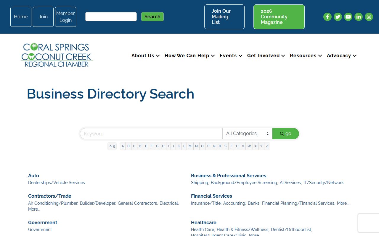
Use such entries to understand nearby civic and commercial contacts, not to infer where an owner or staff member lives.
Coconut Creek Owners and Occupants
A deed names titleholders, not renters or the full household. That distinction matters across Coconut Creek, where planned communities include condominiums, single-family parcels, and common tracts. Homestead is an assessment clue. It is not a list of people in a unit.
Permits may name an owner, applicant, contractor, or qualifier at the date of filing. Code records may name a respondent and case milestone. Those facts describe a transaction, project, or compliance event. They should not be used to judge a person's character. Utility, delivery, driver, and vehicle address files are not public neighbor directories.
Note: Keep each owner's mailing field separate from the Coconut Creek situs field when recording adjacent parcels.
Privacy for Coconut Creek Neighbors
Some gaps are designed by law. Florida's Address Confidentiality Program gives eligible victims a substitute mailing address. Other address exemptions under section 119.071 apply to qualified groups after the required request. Voter law, court rules, and motor-vehicle privacy rules close other fields.
Do not try to rebuild a protected address from parcels, voter files, association contacts, or social clues. Public availability does not permit a course of surveillance. Florida stalking and cyberstalking law covers repeated malicious harassment and certain electronic conduct that causes substantial emotional distress without a legitimate purpose.
Lawful use. Research Coconut Creek neighbors for civic context, reconnection, or personal safety. Never use a record to watch, threaten, harass, or intimidate someone.