
Walk a Coconut Creek Street
Begin with one complete address, not a person's name. The Broward County Property Appraiser Property Search links a street location to its folio, legal description, subdivision, owner spelling, mailing address, exemptions, and recent sale rows. A folio is the county parcel identifier. Copy it exactly, since condominium folios can include letters. The record establishes ownership on a dated tax roll, not the full household.
The Coconut Creek street directory then expands from that parcel. Keep a capture date beside every result because deeds, exemptions, and ownership change.
- Enter the house number and street name in BCPA. In the map form, omit the direction and street type, then choose the matching situs address.
- Open the parcel map and collect adjoining lots. Save each folio, owner, and situs separately.
- Use the owner or parcel ID in Broward Official Records. Note both deed parties, instrument, date, and legal description.
- Check city permits, code matters, and planning folders by address or subdivision for dated site activity.
- For older occupants, consult reverse directories and newspapers, then confirm each name elsewhere.
This order keeps street-by-street work tied to records that can be retraced. It also prevents a nearby parcel, shared mailing address, or same-name owner from being folded into the wrong home.
Coconut Creek Street Search Fields
BCPA supports owner, address, subdivision, and property-ID routes. Address and map modes are most direct for a street directory. The result separates the physical site from the address used for tax mail, a key distinction when asking who may live there.
| Search field | Entry type | Use |
|---|---|---|
| Folio | Exact parcel ID | Submit the saved identifier, including letters |
| Owner name | Name text | Use the roll spelling and valid variants |
| House number | Number | Pair with street name |
| Street name | Text | Omit direction and street type in GIS |
| Subdivision | Named place | Connect planning and plat names |
A result can show owner, situs, legal, folio, use and millage codes, values, exemptions, square footage, effective age, and two sales. That detail makes by-address work precise, but no renter list or household roster appears.
- Parcel
- A mapped piece of land tracked under one folio.
- Situs address
- The physical parcel location, distinct from owner mailing.
- Plat
- A recorded map identifying lots, blocks, and subdivision geography.
- Criss-cross directory
- A directory arranged by address or phone rather than only surname.
Map Coconut Creek Street Parcels
The BCPA Web Map turns one match into a visual run of parcels. Search by folio, name, or address, select the match, and use Collect Parcels on adjoining polygons. Its grid can show parcel, owner, situs, millage, use code, land and building values, total value, square footage, price per square foot, and effective age. Unselect Parcel removes an accidental choice.
Map borders establish proximity. They are tax and GIS lines, not a boundary survey. Consecutive street numbers also do not prove two lots touch.
The official Broward parcel viewer displays the controls used in this search.
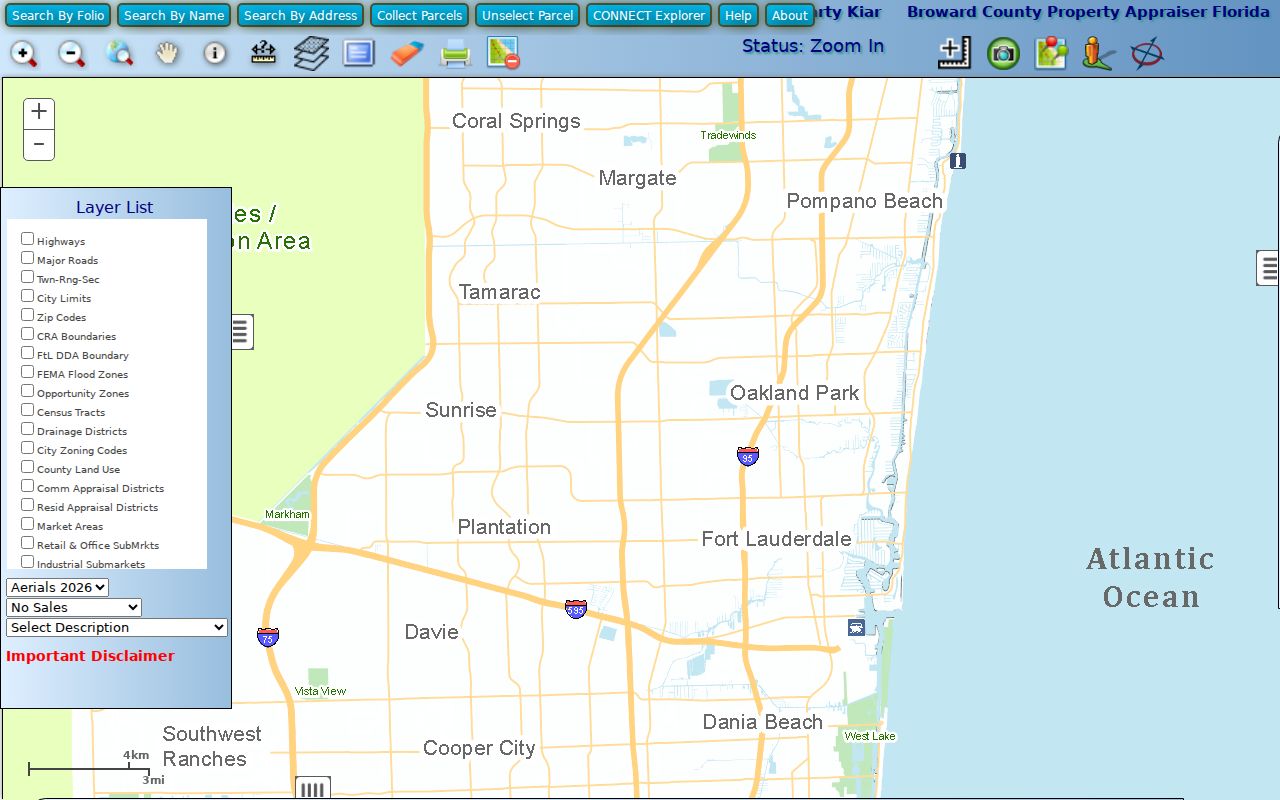
Its folio, owner, address, and parcel tools keep nearby lots distinct as a Coconut Creek street directory is assembled.
Note: A tax-map owner is not proof of who lives at the parcel, and every collected row needs a capture date.
Coconut Creek Records by Street
No office keeps a current roster for every Coconut Creek home. Address-keyed sources provide pieces of evidence, each with a keeper and limit. Folio and legal description connect the strongest pieces when a postal label changes.
| Address source | Keeper | Evidence | Access |
|---|---|---|---|
| Property roll | Broward Property Appraiser | Owner, mailing, situs, folio, legal, exemptions | Free portal or Room 111 counter |
| Parcel maps | BCPA and city GIS | Parcel shapes, nearby lots, planning context | Free viewers |
| Recorded papers | Broward Records, Taxes and Treasury | Deeds, liens, mortgages, notices, dates | Online index; Search and Copy fallback |
| Voter records | Broward Elections | Lawfully available registration fields | Individual lookup or request |
| Permits and code | City of Coconut Creek | Dated project and applicant facts when public | Department or records request |
| Reverse directories | Broward County Library | Historical address-to-name snapshots | Main Library database |
The street name joins the search, while the folio prevents mix-ups. Voter information has statutory limits. City files document a transaction or project, not all occupants.
Coconut Creek GIS Street Tools
The Coconut Creek Public Access GIS offers another address route. Find Address and Find Intersection locate a site. Select and Identify can pick one feature or a group drawn with a box. Buffer finds mapped features within a chosen radius. Tools measure distance, area, and acreage or zoom to coordinates.
Selection depends on the chosen theme. Buffer fields include Target Theme, distance, and units. The public setup says map printing is not configured, though selected attributes can be printed or attached to email.
The city's GIS service layer inventory shows the mapped content.
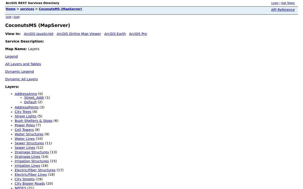
The inventory explains how an address connects to planning and subdivision context without becoming a resident roster.
Deeds Along Coconut Creek Streets
The Broward Official Records Search follows title after the parcel owner is known. Modes include Name, Book/Page, Document Type, Instrument Number, Case Number, consideration amount, record date, Simple Search, and Parcel ID. Results may show party roles, names, record date, document type, book and page, legal, instrument, and index status.
Full search for records other than plats and maps begins at the unusually exact point of July 7, 1977 at 1:47 p.m. March 9, 1972 through that cutoff is limited to instrument number, book type and page, and date. Earlier work shifts to Search and Copy at 115 S Andrews Avenue, Room 114. County holdings include certified ownership papers to 1883 and other media from 1871.
Open the current acquisition deed. The seller is grantor and buyer is grantee. Search the seller as an earlier grantee to move back one transfer. Preserve the legal description, which can survive street wording changes better than an address.
Note: Index and image coverage differ, so a useful citation may still require a counter or copy request.
Coconut Creek Planning by Address
Municipal records add the physical story. Permits may name an applicant, contractor, qualifier, or owner at the time of work. Code files show a dated compliance matter, not a person's character. When direct search fails, request an identifiable file from the city clerk with department, date range, address or project, and format.
The scanned planning repository is arranged by developments. It includes Wynmoor, Township, Centura Parc, Regency Lakes, Winston Park, Banyan Trails, Victoria Isles, and Coconut Creek Ranches. A project or plat name can unlock a file when the postal street fails.
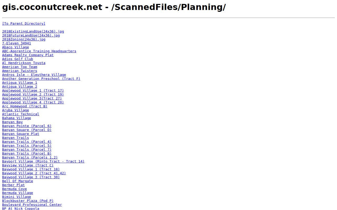
The folders bridge a Coconut Creek street to development records without implying that planning files list every resident.
Coconut Creek Address Clues
Owner mailing and situs often differ. Situs means land location. Mailing is where the owner gets tax notices. A match plus homestead can make owner occupancy plausible, but remains an inference. A remote mailing address may suggest the owner lives elsewhere, yet says nothing firm about renters.
Coconut Creek spans delivery ZIPs 33063, 33066, and 33073. Postal geography does not equal city limits. City Hall uses 33063 although that mail area is shared with Margate. Verify the physical parcel in BCPA and city GIS rather than accepting a ZIP or mailing city as proof.
Street form matters as well. Use the exact situs returned by BCPA in later requests, but retain the recorded subdivision and legal description. City planning folders may be stored under a development name rather than the current road. A deed may shorten a street type or describe only the lot and block. Matching the folio, plat, and legal text protects the chain from those harmless wording shifts. It also helps distinguish condominium units that share the same base street address.
Older Coconut Creek Street Entries
Reverse directories add names that deeds miss. Broward Main Library's fifth-floor electronic directory database searches names, phones, and addresses across regional runs. Fort Lauderdale Suburban volumes cover 1975 through 1986 and are the most plausible post-incorporation spine for Coconut Creek, but each street needs verification. Pompano Beach volumes from 1955 through 1982 add regional context.
A missing entry does not prove vacancy. Compare editions before and after, transcribe exactly, and check deeds, permits, newspapers, or census material. The collections are covered on the Coconut Creek city directory.
Coconut Creek Street Directory Limits
A public street directory cannot reveal every person at a home. Parcel rolls list owners, not renters or relatives. A deed records titleholders and an event, not continuous residence. Homestead does not disclose household makeup. Driver and vehicle addresses are protected, utility and delivery accounts are not public resident lists, and protected addresses must not be rebuilt.
Florida voter tools are bounded. Individual lookup requires identifiers, and public-file access excludes protected fields and Address Confidentiality Program participants. Election participation may be public, but ballot choice never is. A failed search can reflect privacy, a stale name, or a source gap.
Lawful use. Use Coconut Creek address records for lawful personal research, family history, property curiosity, or scam prevention. Never stalk, harass, intimidate, or harm anyone.
Commercial compilations may merge old addresses and same-name people. Official rolls are better because each item has a custodian, date, and correction path. Still confirm official data in a second source.